GIS / GPS Services
GIS For PDC and Facilities Management
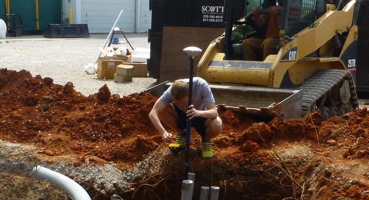
WKU's Department of Planning Design & Construction (PDC) has developed a Geographic Information System (GIS) and Global Positioning System (GPS) for managing campus facility and infrastructure data, providing sources of infrastructure information for project managers and administrators. Initially the system will cover university owned facilities on main campus; future expansion will include all WKU campuses.
Like other university campuses, the demand for additional space and resources at WKU has increased through the years. The campus planners for the long range master plan have identified GIS as a valuable tool for display and analysis of geospatial data, and are working towards making it available for academic and administrative departments in the near future.
Maintenance of accurate digital facility geospatial data is essential not only for day-to-day work but also for life term data management. There is a need for a comprehensive, integrated, and up-to-date geo-database for all infrastructure, underground utilities, and facilities inventory. Capturing real world locations of these geographic features along with their attribute data is critical for our integrated system.
PDC is very happy to participate in this new effort, taking the initiative under the leadership of our director with immeasurable support from the university upper administration.
Some of the links on this page may require additional software to view.