Gazing Deeply: Big Ideas
 "...one of the most sublimely beautiful and picturesque amphitheaters in the world..."
The Mammoth Cave System is the longest known cave anywhere the world.
An incredibly complex, three-dimensional labyrinth of passages, more than 415 miles have been explored and mapped so far and more is discovered every year. Because of the global significance of this Kentucky treasure, the Mammoth Cave National Park area has been designated by the United Nations as both a World Heritage Site because of the unique geological and biological conditions found here and an International Biosphere Reserve because of extraordinary underground and surface biodiversity.
The geologic and climatic setting here create a “perfect storm” of conditions that can produce large cave systems. Artifacts document thousands of years of human exploration. Ancient people mined minerals, had ritual experiences, and likely explored the cave driven by the same curiosity that still draws explorers deep into the cave today. Continuing a 200-year tradition, today tourists visit from all over the world.
Exploring Mammoth Cave
Click here to take a virtual tour of Mammoth Cave's historic route, courtesy the National Park Service.
Native Americans ventured into the cave about 4,700 years ago, and undertook the deepest ancient cave exploration known anywhere on earth—at places five miles from the nearest sunlight. It is astonishing to think of these deep, dangerous adventures using only bundles of dried reed canes for torches, where losing light might well have meant death. Renowned cave archeologist Patty Jo Watson has called them “the world’s greatest cave explorers.”
European settlers “discovered” and began exploring the cave in the late 1700’s, originally searching for minerals in the cave to produce gunpowder. Discoveries continued through the 19th and early 20th centuries, and the modern era of exploration began in the 1950s. The Flint Ridge Cave System (90 miles long) was connected to Mammoth in 1972, then Roppel Cave (49 miles) in 1983. Fisher Ridge Cave (130 miles), Whigpistle Cave (35 miles), and others lie nearby but are not yet connected.
11,500 BP - 10,000 BP
There was little habitation in the Mammoth Cave area at this time. The few tools found from that period may have been brought in from elsewhere.
10,000 BP - 3,000 BP
The first explorers entered the cave about 4,700 years ago. Extensive mineral mining in the cave began about 1,500 years later.
3,000 BP - 900 AD
The deepest ancient cave exploration known anywhere in the world took people up to five miles from the nearest entrance. Artifacts detail a rare, globally significant record of early agriculture—humans learning to control their environment. Major cave exploration ended about 2,200 years ago
900 AD - 1700 AD
There was regional habitation, but no deep cave exploration; some caves were used for rock art.
c. 1790s - 1940s
1940s - 1957
1957
1976
1981
1992
Timeline developed by Dr. Chris Groves in partnership with Dr. George M. Crothers, Chuck DeCroix, Dr. Stanley Sides, and John MacGregor. Last updated January 2020.
What did early explorers find?
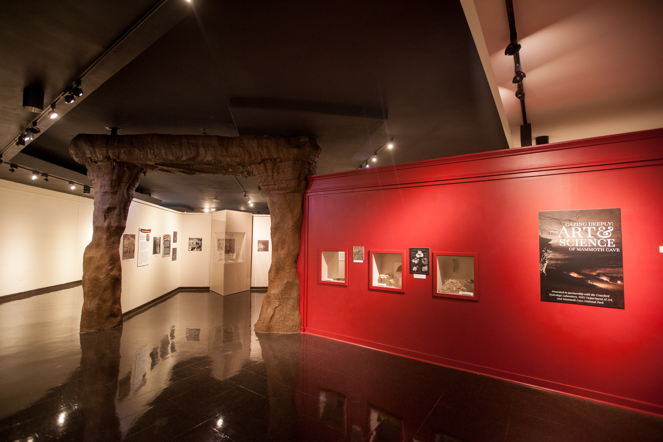
Gazing Deeply displays artifacts that were used, and found, by explorers in Mammoth Cave. Below are photographs of some of the artifacts on exhibit.
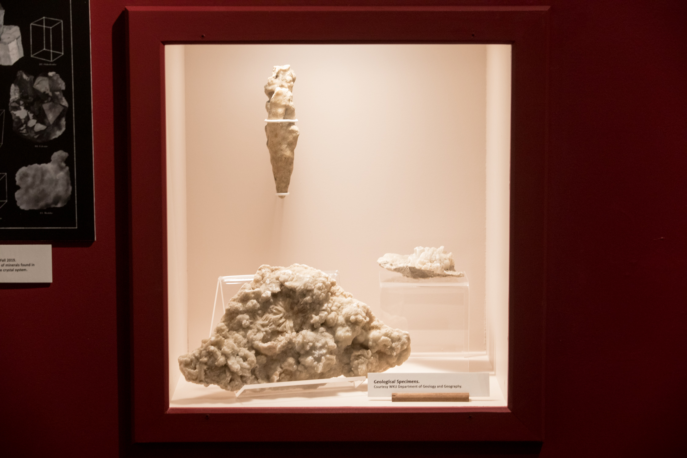
Mineral formations such as stalactites and stalagmites that grow from cave ceilings and walls, collectively called speleothems, add great beauty to many cave passages. Although sandstone layers overlying the cave prevent downward migration of water inhibiting the growth of speleothems in some of parts Mammoth Cave, there are indeed areas of the cave and others nearby in which they grow profusely.
Other than the aesthetics of speleothems, analysis of chemical constituents within them called isotopes can provide a rich source of information about past conditions the region around the cave over thousands of years, including past temperatures, rainfall patterns, and what kinds of plants grew in the area. Our ability to plan for future climate change is deeply informed by records of past climates, and speleothems provide one of Earth’s richest sources of that information.
On loan from WKU Department of Geology and Geography.
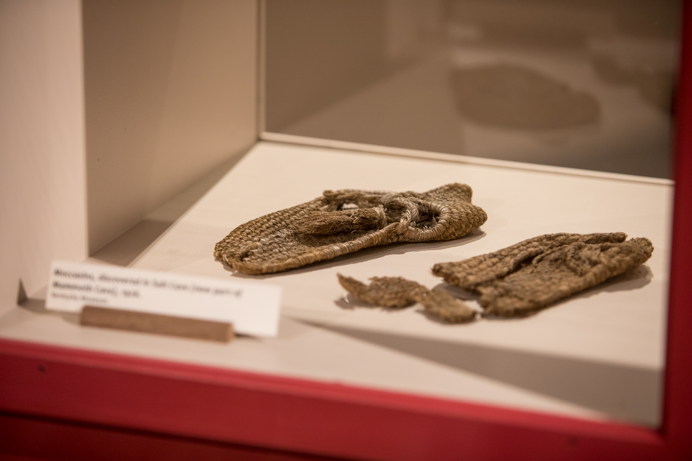
Moccasins found in Salts Cave, now part of Mammoth Cave. These moccasins were likely worn by Native Americans who mined the cave for its gypsum formations.
According to a 1973 letter from Roy H. Owsley, the moccasins were found by Andy Collins (brother of Floyd Collins), Gabrielle Robertson, Cecil Wright, and Roy during a trip to Salts Cave in Hart County in the mid-1920s. Owsley stated, "Our second trip into the cave lasted several hours. During this trip, the three of us (Andry Collins, Cecil Wright and I) explored several branches off of the main cavern, and in one of these in particular we found names and dates that had been scratched on the walls of the cave with a knife.... In this same chamber...we found several Indian moccasins that were almost perfectly preserved, along with some other lesser items, all of which were very carefully carried and handled by Cecil and me..."

Additional Resources are linked in the PDFs below. Originals may be viewed at the WKU Department of Library Special Collections.
- "The Subterranean Voyage, or The Mammoth Cave, Partially Explored" by a gentleman in Bowling Green, January 21st, 1810.
- Helm-Lucas papers on a double wedding in Mammoth Cave of Anna Moore to T. N. Moody and Jennie Lucas to J. W. Helm, November 12, 1879.
- "Between a Rock and a Radio Place: The Case of the Irene Ryan Signature Mystery" by Peggy Gripshover and Chris Groves.
WKU at Mammoth Cave
During WKU’s first decades, students held annual retreats at Mammoth Cave. Marching north from Bowling Green, they chronicled their adventures in The Elevator, a student newspaper.
Volume 1, No. 8 (July 1910) features "Echoes from Mammoth Cave" (page 9-15 of the PDF)
Volume 2, No. 9 (July 1911) features "Report from the Walking Trip to Mammoth Cave, June 8-13, 1911" (starting on page 14 of the PDF).
Cave Sing
Another way that students have been involved at Mammoth Cave National Park is through participating in the annual Cave Sing program. The idea for the Cave Sing dates back to 1883, when residents held a Christmas celebration in Mammoth Cave. An article about the event stated, "the halls of the cave ring with joyous carols and the laughter of happy children." The video below shows the Western Kentucky Women's Choir conducted by Eva Floyd, assistant conductor Rebecca Fields, performing during the Cave Sing in 2017.
Karst Field Studies
In 1979, former associate professor at WKU and Director of the Center for Cave and Karst Studies, Dr. Nicholas Crawford, developed a program of one-week long karst field stuides courses offered as "Summer University in the Park." The first courses were offered on June 6, 1980 at the Great Onyx campground at Mammoth Cave. In 1987 the name of the program was officially changed to "Karst Field Studies."
The summer cave and karst courses are for those with an academic, professional, or personal interest in all aspects of caves and karst systems. Though many of the courses are held at Mammoth Cave National Park, other locations include the urban karst of Bowling Green, Kentucky; Edwards Aquifer in San Antonio, Texas; Missouri Ozarks; and Sequoia Kings Canyon National Park, California, and north- and central-Florida, among many others. Many of the courses even involve rigorous trips into rarely visited portions of Mammoth Cave. Past participants have included undergraduate and graduate students, teachers, college professors, cave guides and interpretive staff, cave and karst managers, geologists, hydrologists, environmental consultants, and cave and karst enthusiasts on vacation. Participants in any given course have ranged in age from 18 to 73 and have come from multiple countries.
Today, the Karst Field Studies program continues each summer. Learn more about their work and upcoming courses on their website.
Crawford Hydrology Lab
Established in 1979, the Crawford Hydrology Laboratory at WKU is an applied research center and nationally leading laboratory for groundwater flow investigations. Their work specializes in karst landscapes and aquifer systems, and they provide a variety of technical, field, and laboratory services to a national and international clientele. The laboratory faculty and staff work with WKU students on a variety of projects, and provide annual awards to support student research that involves fluoresecence laboratory products and services used in groundwater tracing investigations. Learn more about their work on their website.
 Studying the Cave
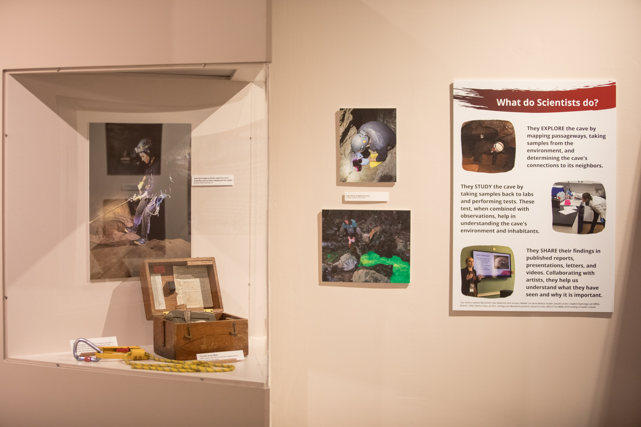
Scientists explore the cave by mapping its passageways, taking samples from the environment, and braving narrow passageways to delve deeper and deeper into the land. They explore the land above and how the entire landscape is connected to its neighbors, human and otherwise.
They also study the cave, taking samples back to labs and running complex, unbiased tests that help us understand the karst environment. They conduct surveys of cave inhabitants, such as bats, to understand whether the animals are thriving or declining and why.
Finally, scientists share their findings. These are found in research notes, published reports, presentations, letters, and videos. Working with artists who produce scientific illustrations and interpretations, they help us understand what they have seen and why it is important.
Much of this is done in partnership with the Cumberland Piedmont Network Natural Resource Inventory and Monitoring Program. Through this program, the inventory and monitoring of natural resources are integrated with park planning, operation and maintenance, visitor protection, and interpretation to establish the preservation and protection of Mammoth Cave.
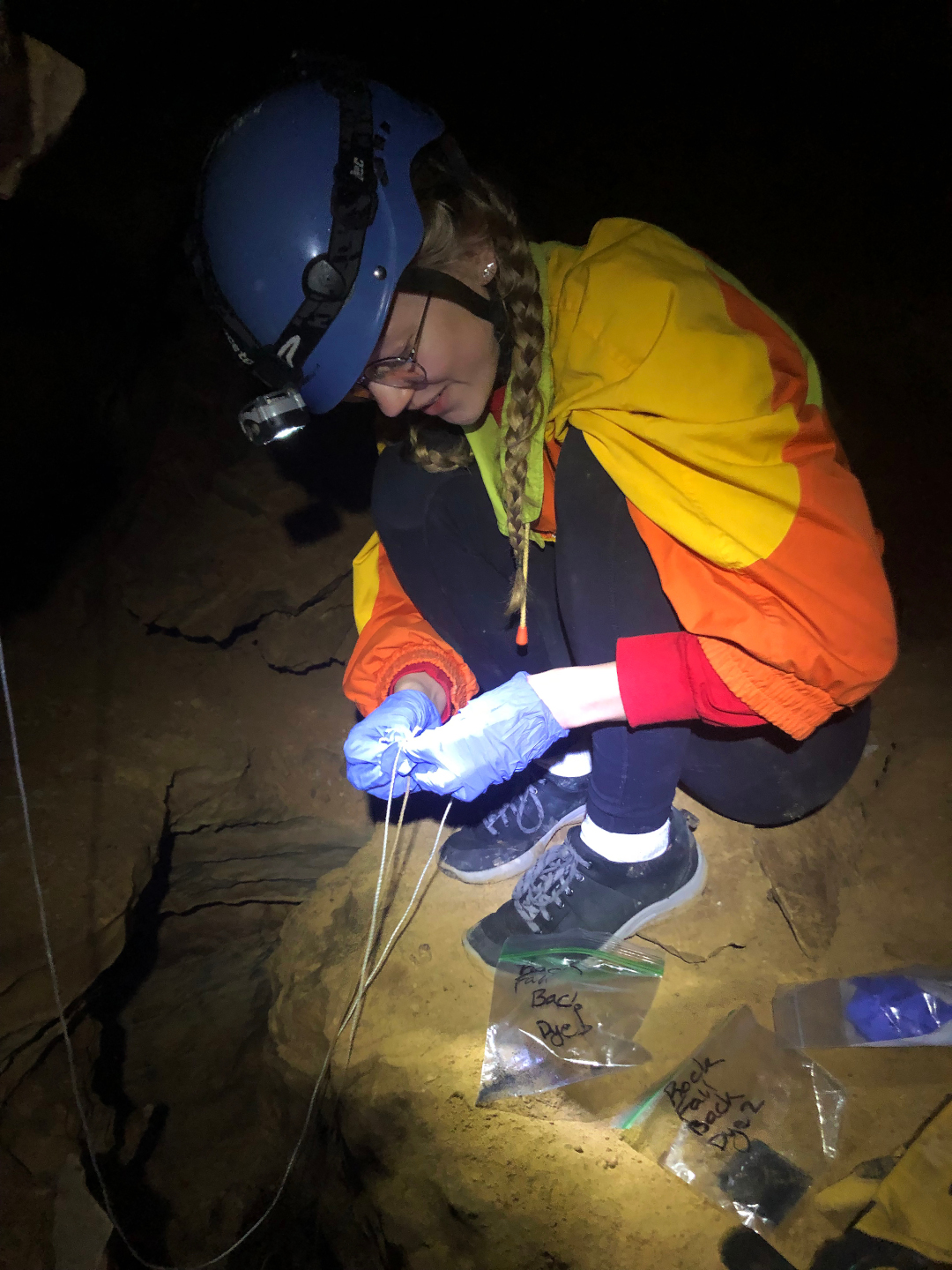
In the image at right, WKU Honors student Jessica Williams places a bag of charcoal into a cave stream for groundwater tracing experiment. If water tracing dye flows past the charcoal, it will show up back at the laboratory when the charcoal is analyzed.
|
|
|
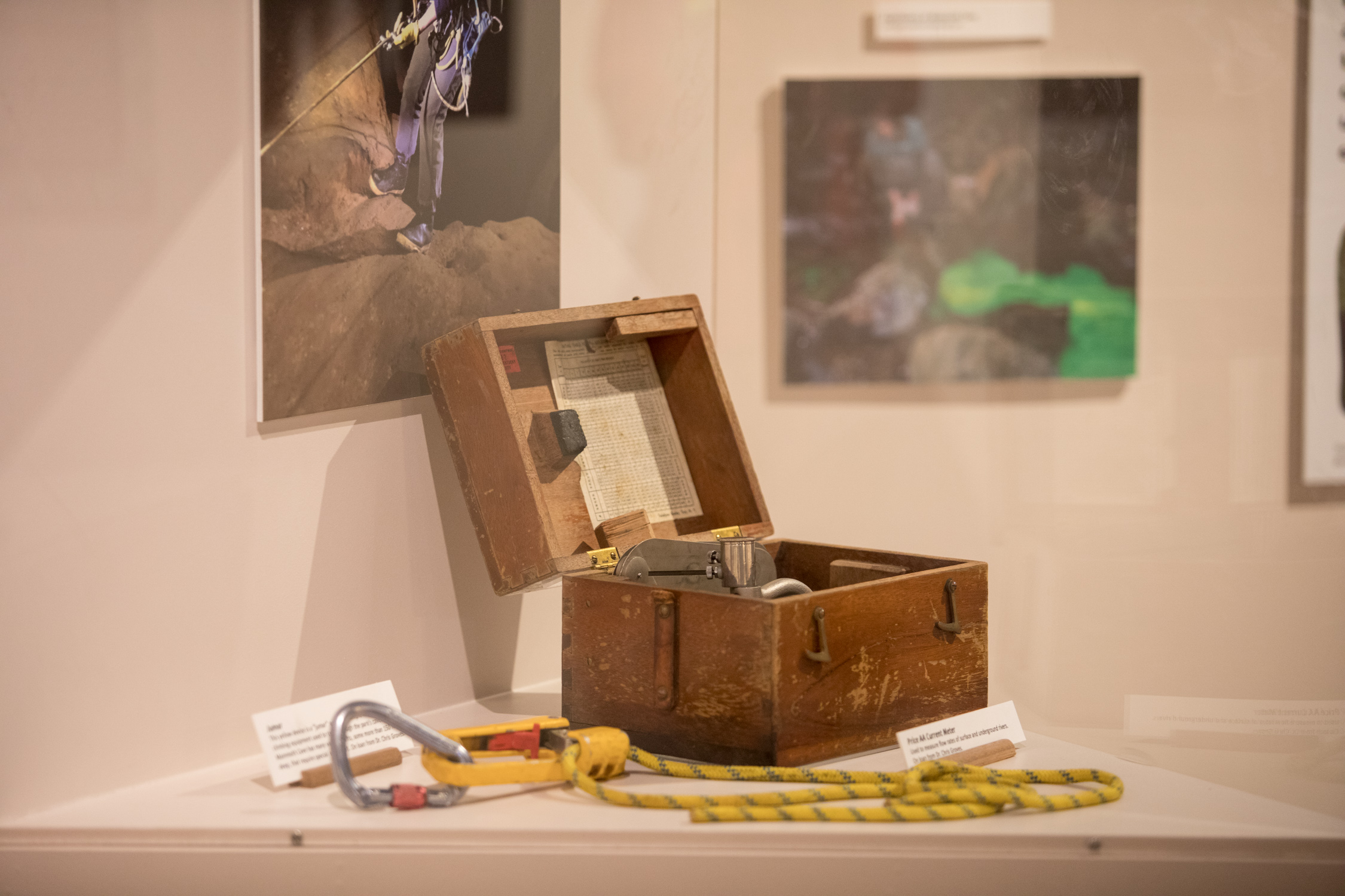
This Price AA current meter (the box instrument) is used to measure flow rates of surface and underground rivers, one of the most important measurements that hydrologists make.
This yellow device is called jumar and is an example of the types of climbing equipment used to travel through the park's caves. Mammoth Cave has many vertical shafts, some more than 150 feet deep, tat require special equipment and training for scientists and explorers to safely negotiate.
On loan from Dr. Chris Groves and Crawford Hydrology Lab.
 “Trailing plants descend from the arch above; grass and moss grow thickly around;
and the cool beauty of the scene is enhanced by a slender thread of water, which falls
continually into a small pool below. The conductor lights the lamps, and, in a severe
voice, calls “Forward!” […] You are ushered into a primitive chaos of wild limestone
forms, moist with the water oozing from above.”
– Picturesque America, S-1827
Although it might be reasonable to expect that surface and underground water in a national park would be relatively pristine, this is not the case for much of the groundwater in Mammoth Cave. The cave is so vast that in some areas its passages extend far beyond the park’s protected lands. The upstream ends of the cave’s major underground rivers are impacted by agricultural land use that introduces fertilizer, pesticides, and animal waste, and this flows through the cave on its way to the Green River. Overall, this is a more or less steady, chronic impact to the subsurface ecosystem.
There has, however, been significant improvement. The 1989 installation of a regional sewer treatment system reversed decades of serious groundwater contamination and more recently, highway widening plans for I-65 to the east of the park have included water retention and filtration systems for both regular runoff and accidental hazardous spills.
The artwork at right was created by art instructor Julie Schuck, utilizing data on water quality from Crawford Hydrology Lab.
 “A strong current of air is behind you, as you think; but it is in reality the ‘breath’
of the cave.”
– Picturesque America, S-1827
In contrast to the dramatic decline in bats, and the steady, chronic impacts to surface and underground water at Mammoth Cave, regional air quality has improved. In 2005 Mammoth Cave had the fifth worst air pollution of the nation’s national parks, with serious impacts from sulfur pollution resulting from coal burning for electricity. Over the past decade atmospheric sulfur in southcentral Kentucky has dropped because of both regulations and economic forces that have led to 1) lower emissions through better technology at the generating plants, 2) use of lower sulfur coals, and 3) replacement of coal burning units with natural gas.
Although there is a long way to go (in 2015 the Park had the nation’s 10th worst air) the trends are generally good. Sulfuric acid in rainfall has been reduced by 90% and visibility has improved as the air has cleared. This has, in turn, improved night-sky viewing.
The image at right was created by Julie Schuck utilizing data on air quality at Mammoth Cave National Park.
 “We progressed but a little way before we discovered innumerable quantities of bats
which had taken refuge there from the severities of the season; they were suspended
from all parts of the rocks by their claws, with their heads down, and crowded so
close that they resembled a continued black cloud…”
– Letter to “My Dear W.” printed in The Enquirer of Richmond, VA (WKU Dept. of Library Special Collections, 1970.44.1)
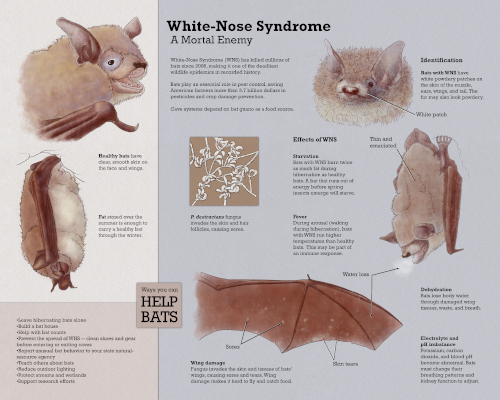
The history of bats at Mammoth Cave National Park (MACA) is extensive. At one time, Mammoth Cave was among the largest bat hibernacula in the world. Bone deposits from several bat species suggest heavy use of the Mammoth Cave over the past 11,000 years. Nowadays, bats represent one of the most imperiled resource groups present at MACA. The cave-roosting bats at MACA and elsewhere face a variety of challenges including human use of and disturbance in caves, physical changes to the cave environment, surface land use issues, and disease. The deadly fungal disease, white-nose syndrome (WNS) has been an important issue related to bat management at MACA4.
Since first confirmed at MACA in 2013, WNS has been documented in 7 of 8 cave-dwelling bat species present on the park. Bats of the genus Myotis appear to be particularly vulnerable to WNS6. Substantial declines in Indiana bats (federally endangered), northern long-eared bats (federally threatened), tri-colored bats, little brown bats, and big brown bats have been observed in recent years. However, the number and variety of bat species within the park had vastly declined from historic and prehistoric reference conditions prior to the outbreak of WNS in MACA.
In contrast, evening bat and gray bat (federally endangered) populations have increased at MACA in recent years. The declines among several Myotis species may enable bats less affected by WNS to expand habitat use to fill gaps left by WNS impacted species, resulting in reduced levels of competition and increased resource availability. This provides some positive information in the light of otherwise disastrous circumstances.
As with many ecological processes, there will be winners and losers as bats struggle to adjust to rapidly changing climates, habitats, and disease. While the future of some bat species at Mammoth Cave remains tenuous, it appears that others are succeeding. The outlook for bats at MACA will depend on mitigating further exposure, controlling access to sensitive areas, and educating visitors of the potential loss of critical ecosystem services provided by bats that may occur by spreading WNS to unaffected areas.
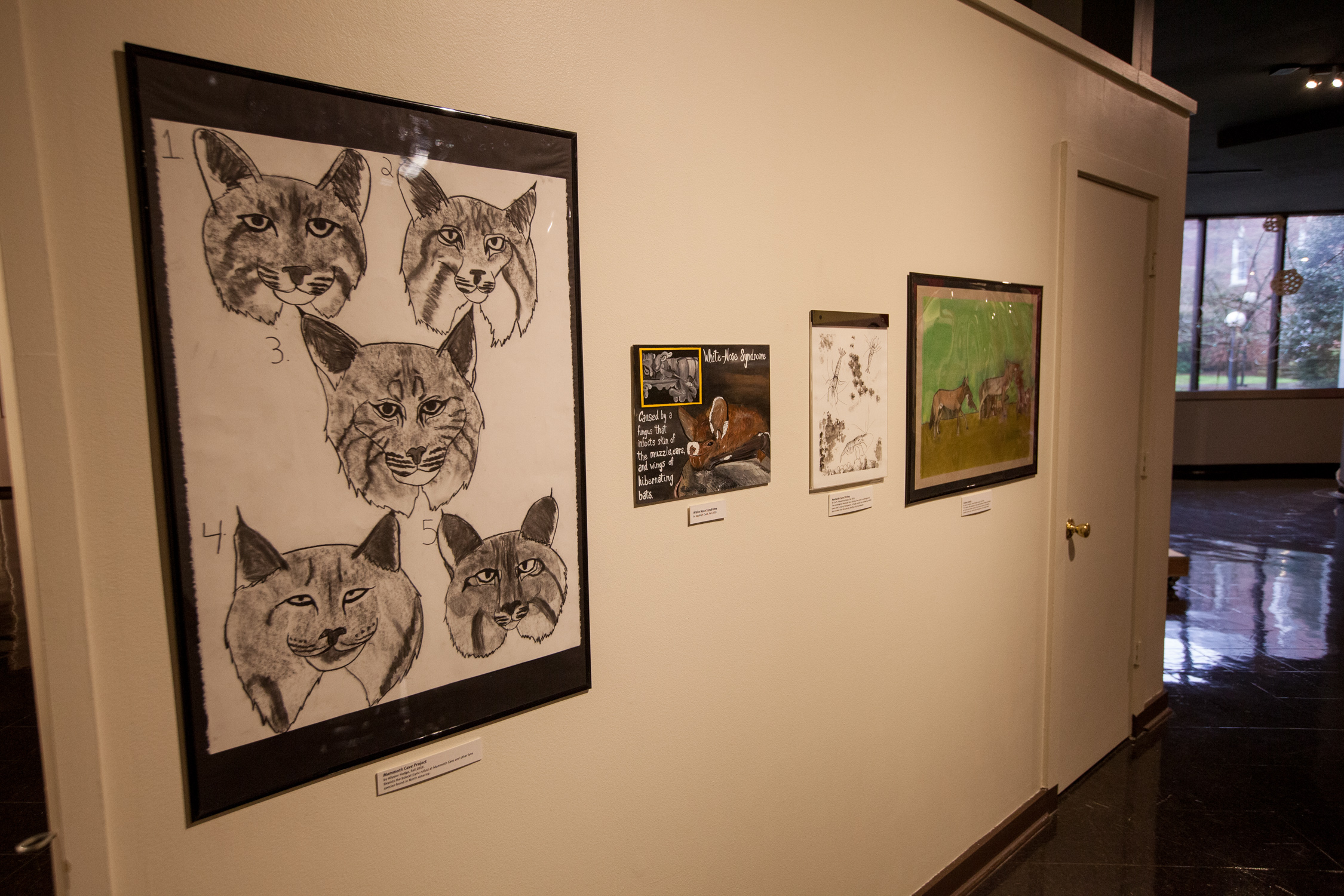
The data visualization pictured here was created by art instructor Julie Schuck.
 How Does Art Help Science?
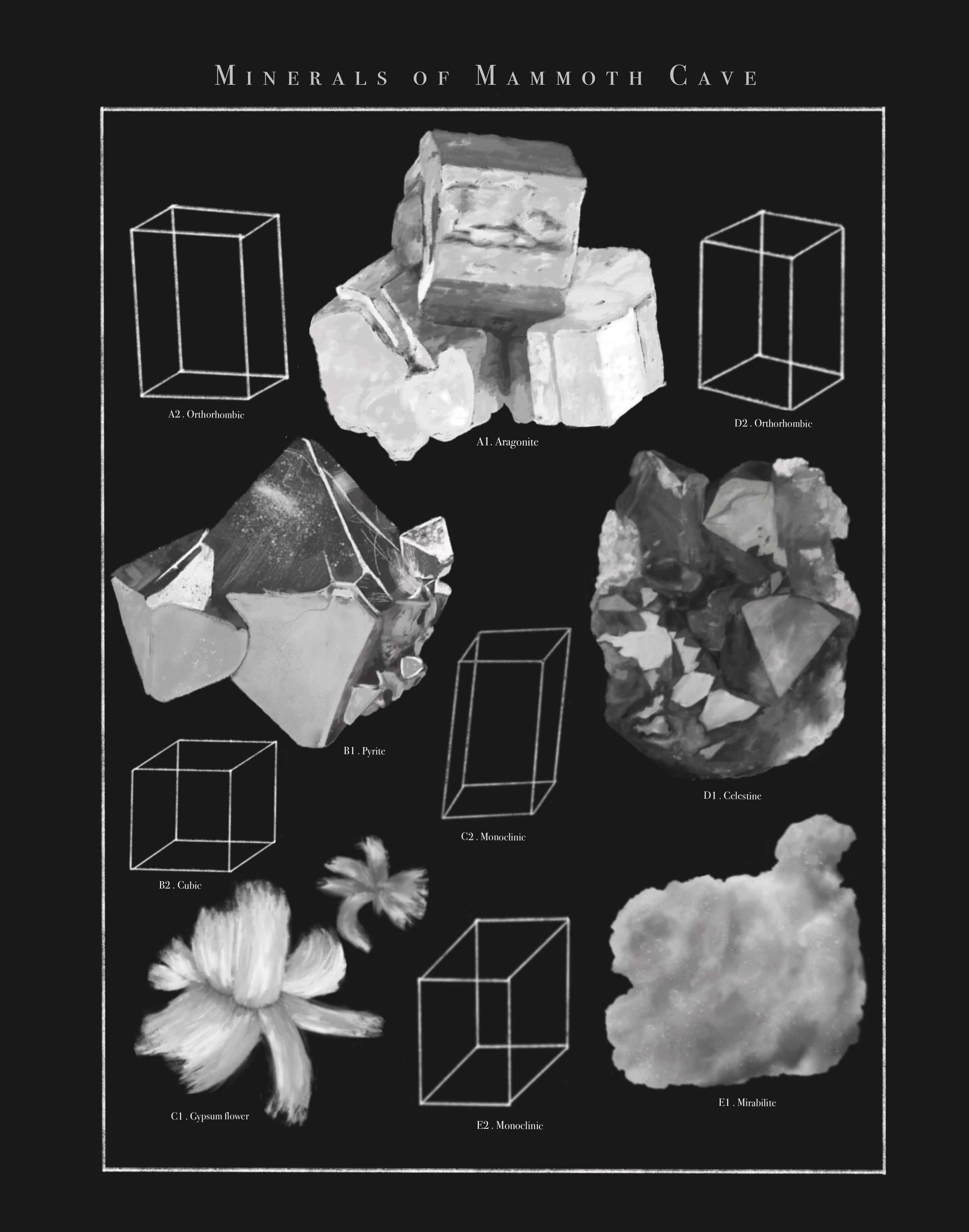
“A picture is worth 1000 words.” This adage is true when it comes to science, a subject that’s often hard to understand. Since the times of the earliest cave paintings, people have created images that helped them make sense of the natural world. Today, artists and scientists use three main types of images to talk about their discoveries: data visualizations, scientific illustrations, and fine art. Each type of image serves a unique function.
Scientists collect lots of information (data) in their work. They create data visualizations to share it with the world. These images sum up the data and help viewers understand what it means. Examples include charts, graphs, and colored maps. Abstract shapes, dots, lines, and colors show how the data compare to each other. Data visualizations can be beautiful, but the main aim is to describe data clearly and accurately.
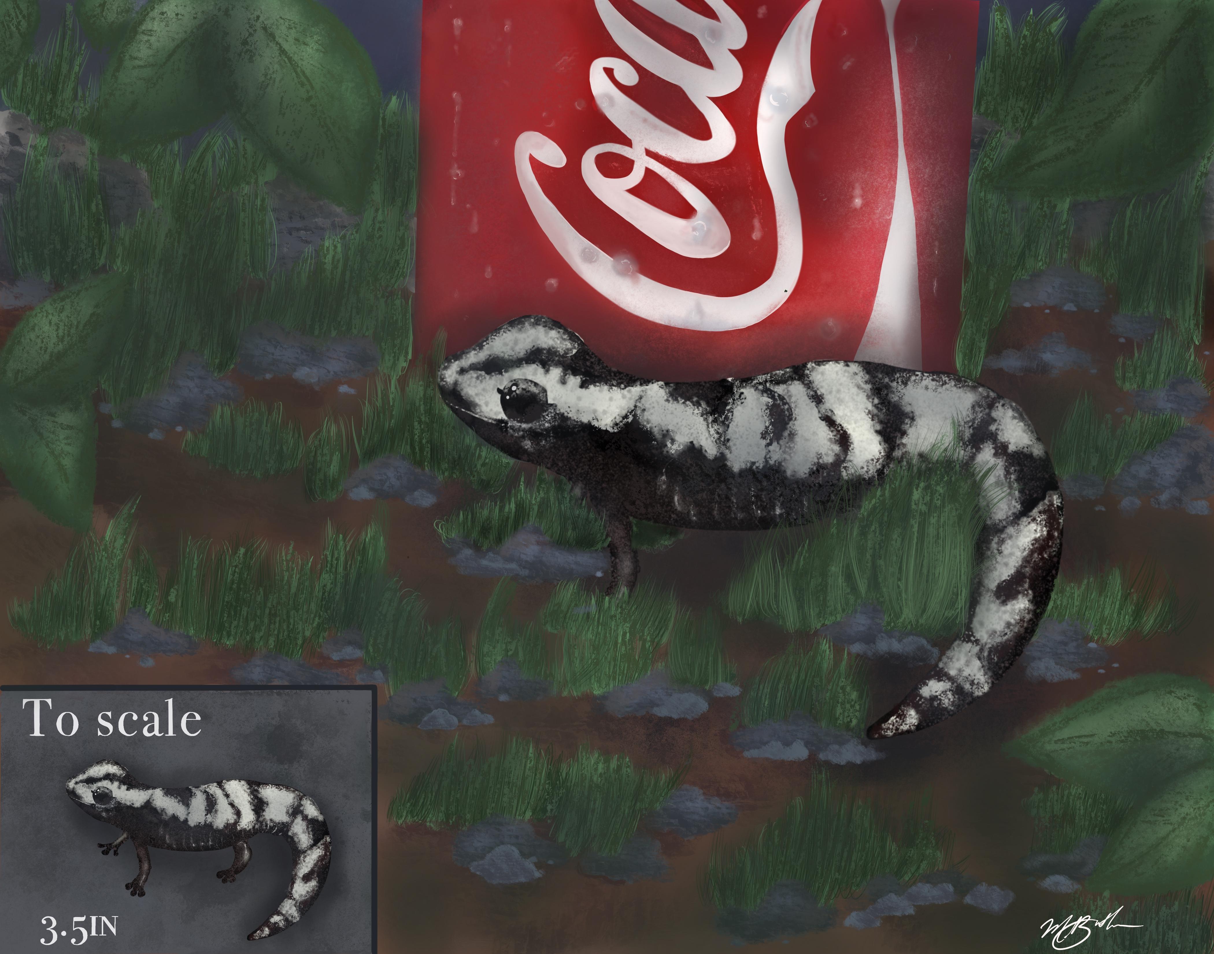
Scientific illustrations, on the other hand, carry messages that go beyond the data. Illustrations are pictures created to show things that are hard to see (like DNA), things we can’t see (such as dinosaurs), or events that happen over time (like surgery). Artists and scientists often work together to create scientific illustrations. They offer a focused point of view that helps an audience appreciate the larger picture. Imagination and skill are needed to make these images. Many art forms such as paintings, drawings, videos, or sculptures can be used to illustrate scientific ideas. The style and type of art is matched to the needs of each project, so illustrators must be skilled in many techniques.
Some fine artists make art inspired by science. Scientific illustrations and fine art can look a lot alike. They are made with the same materials and techniques. However, artists approach the creation of illustration and fine art in different ways, and for different reasons. First, the creative process is different. Illustrations are designed with the end in mind. Most decisions are made before an illustration is started—what it should say, and how it should be said. In contrast, fine art is a process of discovery. Even the artist doesn’t know for sure how it will turn out. Second, illustrations are meant to carry specific messages. They teach or explain scientific ideas. Fine artworks, on the other hand, share the experience of science without an aim to teach. They may carry a different meaning for each viewer.
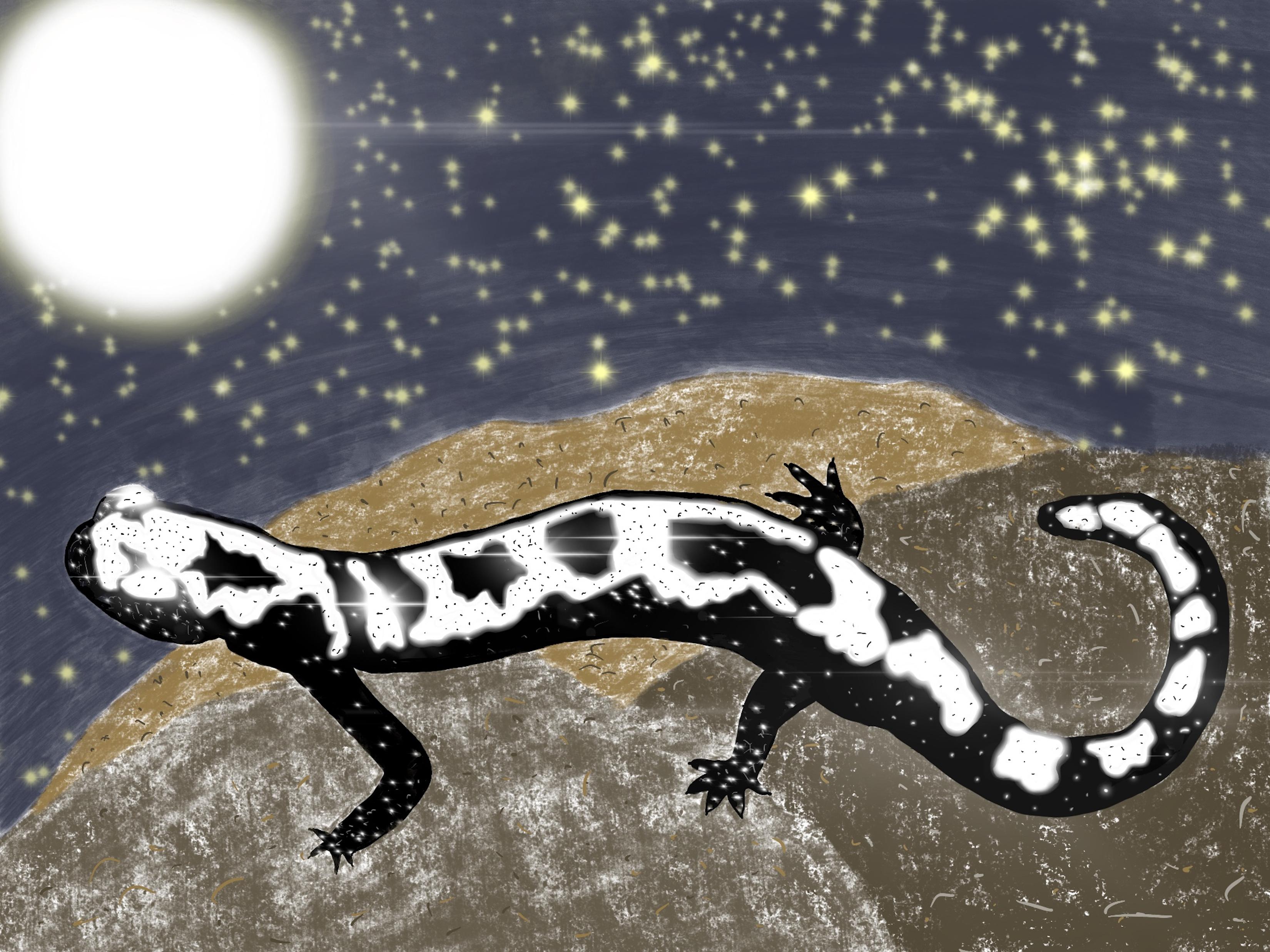
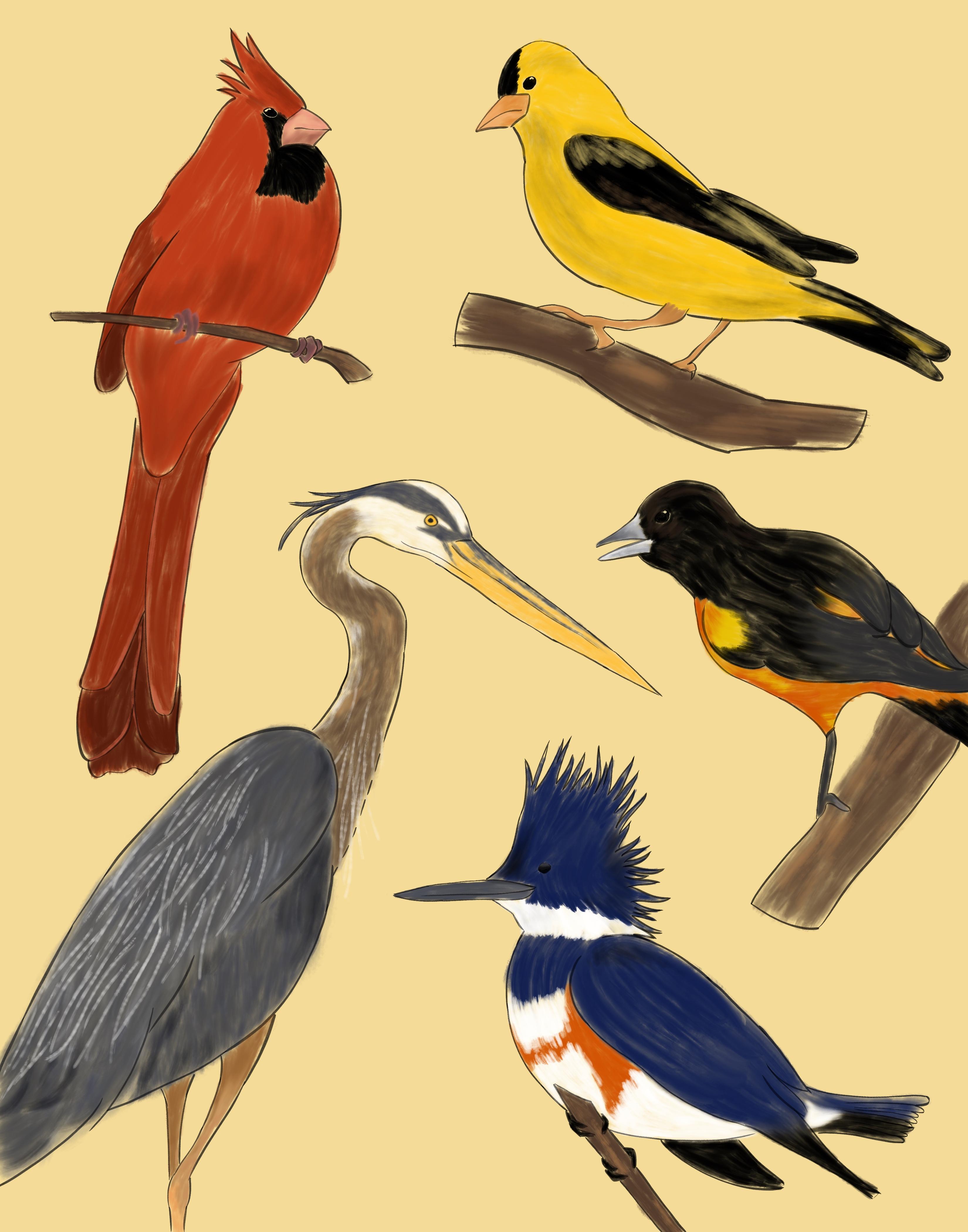
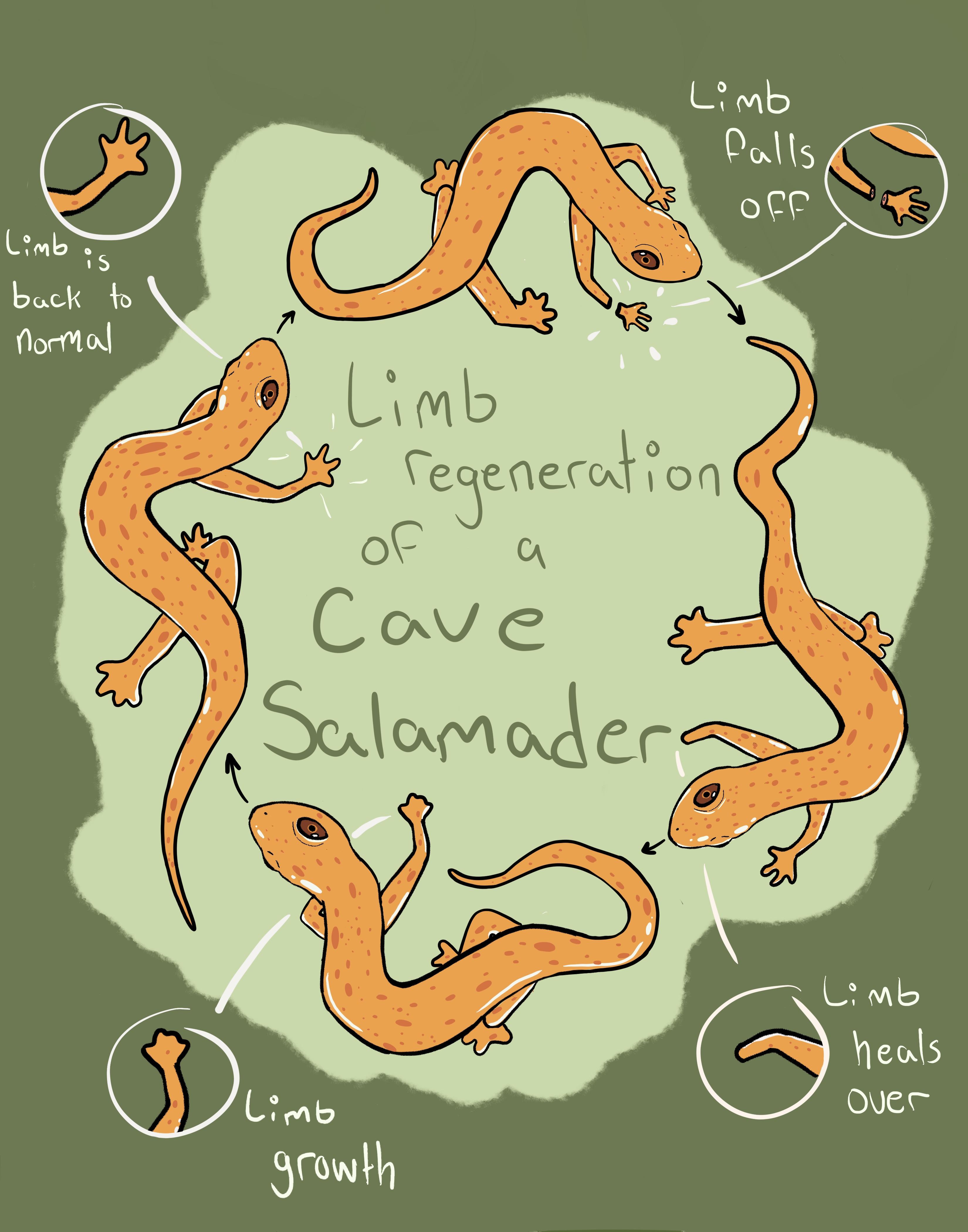
In 2019 and 2020, students in art instructor Julie Schuck's classes created artworks. They worked in partnership with faculty, staff, and students at Crawford Hydrology Lab and Mammoth Cave National Park to choose scientific data or environmental issues at the cave to interpret through art. Be sure to visit the exhibit and see their work!
Protecting Karst
Due to extraordinary natural and cultural resources, the greater Mammoth Cave area has been an international tourist destination since the 1800s, and the increasing attention a major catalyst in the movement to protect those resources for future generations. In 1941, the National Park Service (NPS) was given responsibility to manage, develop, interpret, and preserve Mammoth Cave National Park (MCNP) for the benefit and enjoyment of the people, and fortunately, that is exactly what has been happening for well over 75 years.
MCNP is also World Heritage Site (WHS) and International Biosphere Reserve (IBR), both designations under the United Nations Educational, Scientific and Cultural Organization (UNESCO). These designations are two specific efforts that recognize the world’s most significant places and work to protect them while strengthening bonds among nations and promoting world peace. Both World Heritage and Biosphere Reserve designations afford MCNP global conservation status and international notoriety as well as provide a framework for integrating sustainable development and local communities into the management and protection of MCNP. Designation as a National Park, UNESCO World Heritage Site, and International Biosphere Reserve has ensured the safe-keeping of the outstanding biological diversity and exceptional natural resources of MCNP. Management continues to pursue the best path forward for people of this region, protection of our natural heritage, and conservation of all that is Mammoth Cave.
One particular benefit to MCNP and the region from recognition as a WHS and IBR is the international cooperation and opportunities to share and learn from others across the globe. MCNP has several ‘sister-parks’ including the South China Karst WHS, Skocjan Caves WHS and BR, Slovenia, and most recently Puerto Princessa Subterranean River National Park a WHS and part of the Palawan BR in the Philippines. The purpose of these agreements is to foster the sharing of information, support continued exchange and collaboration, and facilitate training opportunities for both parks. Through these partnerships, MCNP has not only benefited but also contributed to the greater understanding of cave and karst systems and assisted their partners in facing challenges associated with managing the unique ecosystems, hydrology, and tourist activities within fragile karst areas.
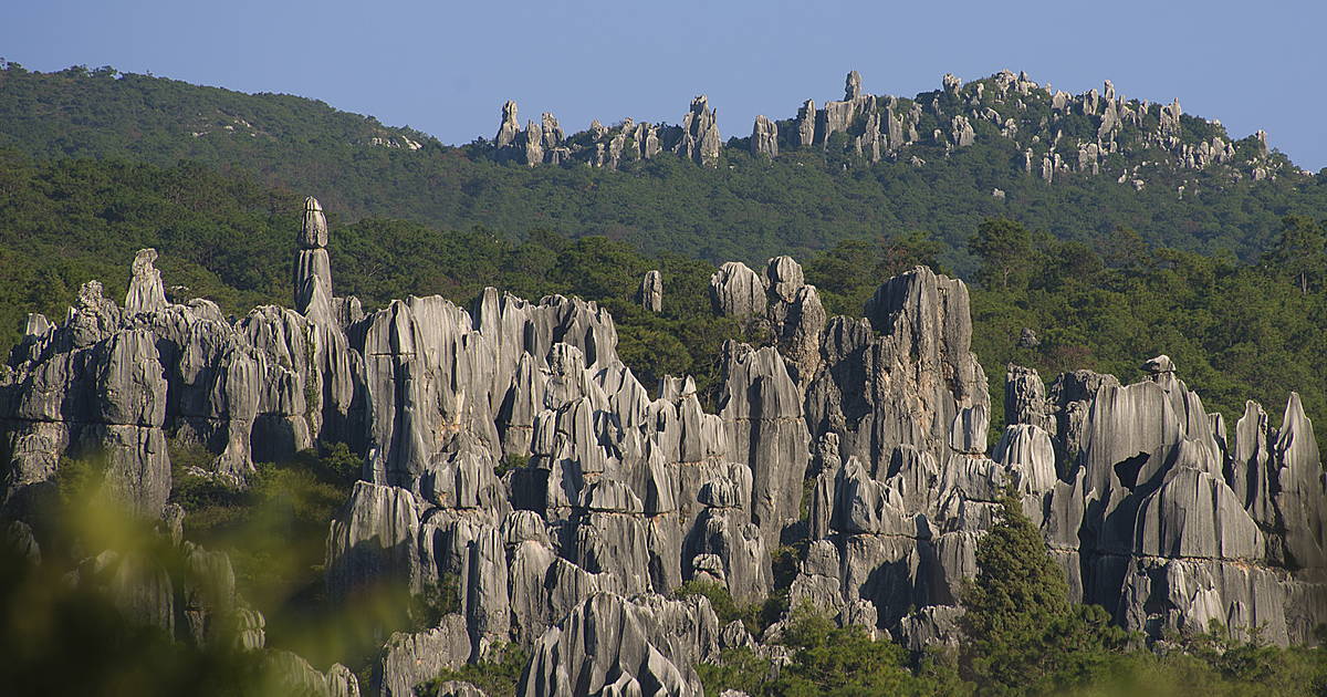
China
South China Karst covers over 176,000 hectares in the provinces of Guizhou, Guangxi, Yunnan, and Chongqing. Its karst formations include towers, pinnacles, cones, natural bridges, gorges, and large cave systems. The stone forests of Shilin, and cone and towers karsts of Libo, are the world reference for these types of formations, with Shilin dating back 270 million years.
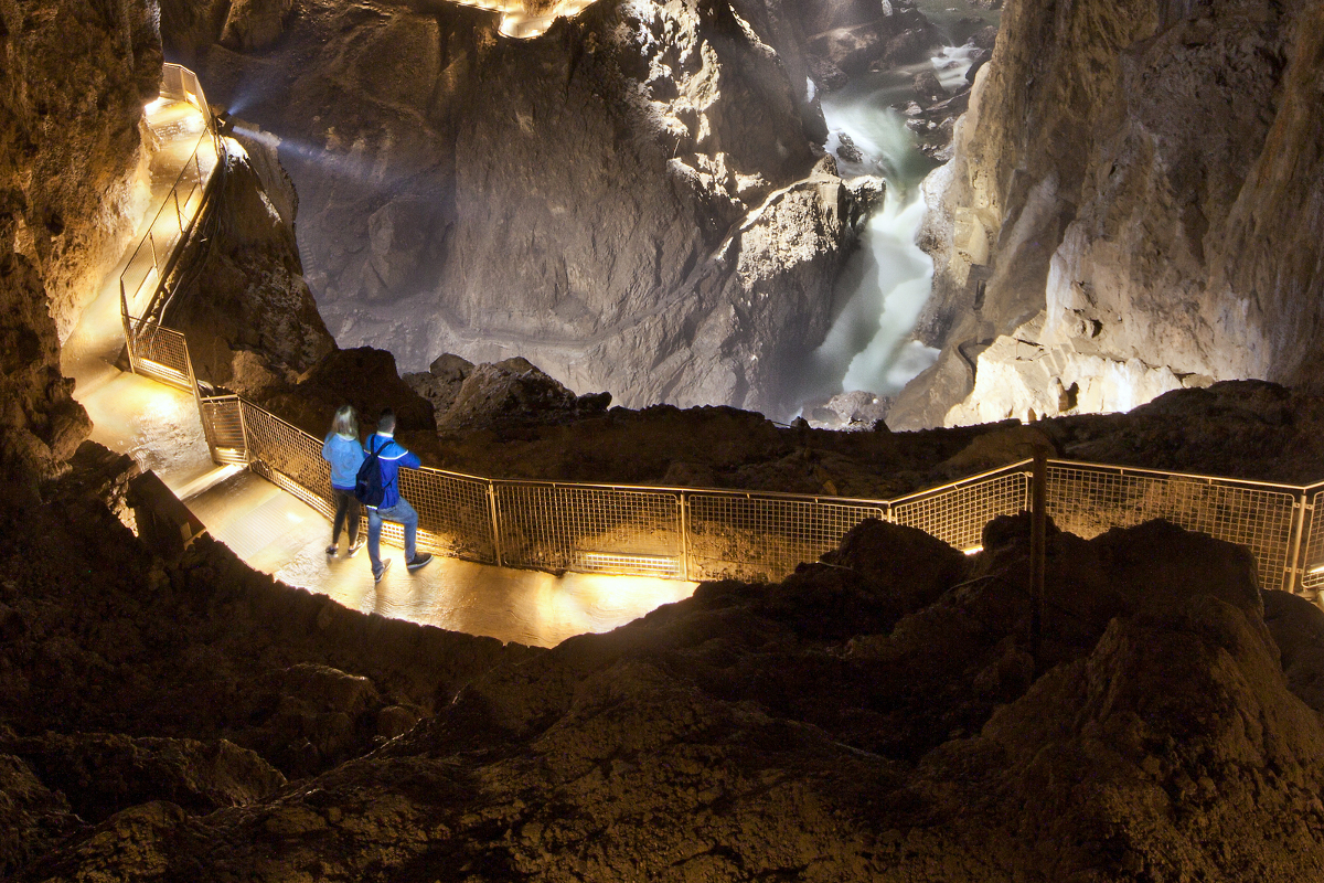
Slovenia
Škocjan Caves Regional Park contains 413 hectares of limestone caves created by the Reka River. It features waterfalls, roaring rapids, vast underground halls, and many rare plants and animals. Human use of Škocjan Caves as a burial ground and for rituals dates to prehistoric times.
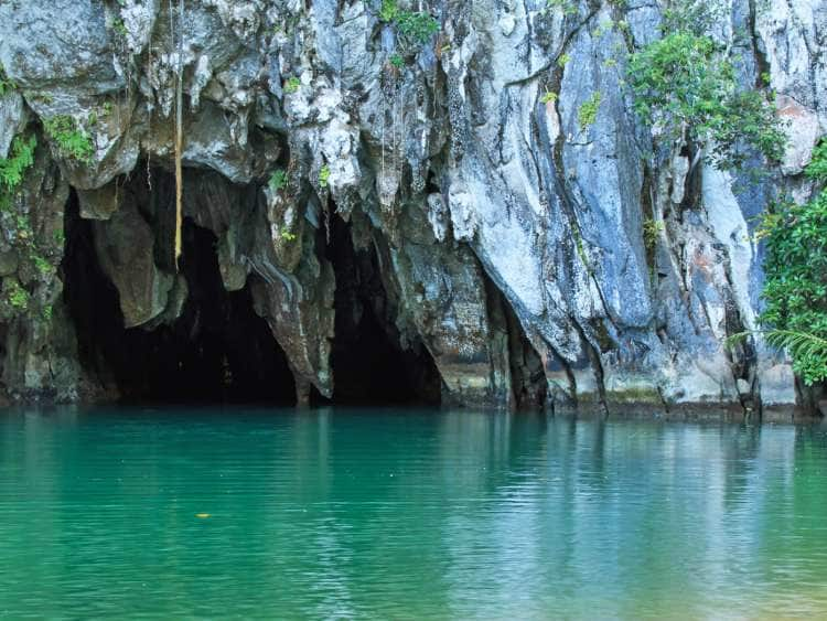
Philippines
Puerto-Princesa Subterranean River National Park is 22,202 hectares of caves formed by an underground river that empties directly into the sea. The park contains a full “mountain-to-sea” ecosystem and is a significant habitat for biodiversity conservation. It is also the first national park successfully managed by a local government unit.
With Thanks
Special thanks to Dr. Chris Groves, Julie Schuck, Lee Anne Bledsoe, and Autumn Singer for their expertise and assistance in developing this exhibit companion. Additional thanks to all of the scientists and student artists who contributed to our Gazing Deeply: The Art & Science of Mammoth Cave exhibition, and to Bat Conservation International for providing additional content for the online companion. Exhibit photography by Clinton Lewis.


